Thursday, July 30, 2020

Challenge Trail, Sandia Mountains, NM 8/30/20

Covid-19 pandemic hike #18


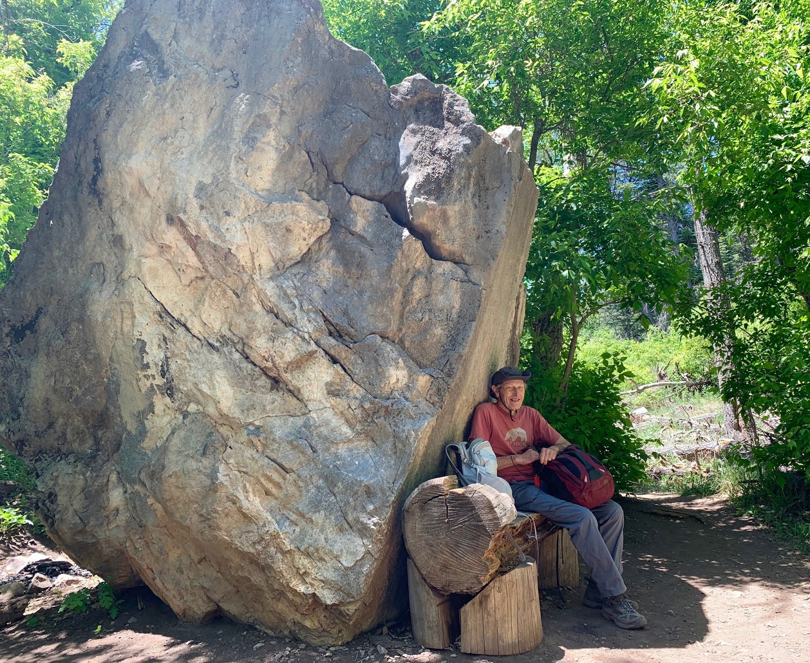
Joined by a NM Mountain Club hiker and a former colleague, we set off on the Challenge trail from the 10K trailhead.  The path descended south and paralleled the road. Not exceedingly steep but enough so to be named "challenge."  Interestingly, enough the trail is not listed in the Sandia Mountain Hiking Guide, and does not show up on the All Trails app.   After just over we mile of downhill we turned back and took the 10K trail to the ski area for a pleasant lunch.

Distance: 3.75 miles; elevation 728 ft.


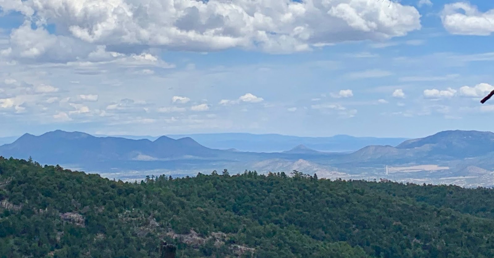
View to the east overlooking a ski slope. 

Sharing the road .....

Friday, July 24, 2020

Bill Spring-Faulty Loop, Sandia Mountains, NM, 7/23/20

Covid-19 pandemic hike #17


Set off at noon with our NM Mountain Club co-hiker and friend on the Bill Spring Trail from the Doc Long picnic area as we did on July 16. Monsoon season has started and weather was overcast with a few sprinkles.
Returned on Faulty trail that we mistakenly took last week, and found our way back via Sulphur Canyon trail  with the help of the All Trails app.

Distance: 3.25 miles; elevation 632 ft.


Thursday, July 16, 2020

Bill Spring Trail, Sandia Mountains, NM, 7/16/20

Covid-19 pandemic hike #16


Set out for our weekly hike without giving it much thought.  My mind is on our upcoming move and the sale of our house yesterday. Nevertheless, we set off from Doc Long picnic ground on the Bill Spring trail. It joins the Faulty trail after just 0.7 miles which connects with Oso Corredor that ends at the Tree Spring parking.  

All went well until on the return, I again took a trail in the wrong direction.  The unintentional detour added 3/4 of a mile to the hike. 
Total distance: 5.8 miles; elevation: ~1000 ft.


Difficult to miss cairn!  The bottle reads "Angry Orchard." Hard cider brewed in Walden, NY. Anyone's guess how it got to New Mexico!


Just one glimpse of an expansive view along the trail.
We will miss the west's expansive open spaces. 

Thursday, July 2, 2020

Tesuque Creek, Santa Fe National Forest, NM, 7/2/20


Covid-19 pandemic hike #15


After a romantic overnite stay at Ten Thousand Waves (thanks to the generosity of Kenli and Shaw) we set off for a loop hike off the road to the Santa Fe ski area, just past Hyde State Park.


The first 1/2 mile on Borrego trail #150 descends into a dry creek, then climbs and descends again into another creek, reaching Tesuque Creek at mile marker 1.5, and joining Windsor trail (#254.) 
 Highlights of this hike: a forest of fir, spruce and aspen trees, and of course the creek. 


Lunch alongside Tesuque Creek.


Followed Windsor trail along Tesuque Creek for about a mile before turning onto Trail 182. After another mile, we reached the Borrego trail again for our hike up to the trailhead. 
Total distance: 4.3 miles; elevation: ~810 ft.

Thursday, June 25, 2020

Crest Trail 130, Sandia Mountains, NM, 6/25/20

Covid-19 pandemic hike #14


Hiked from the Crest parking lot to Kiwanis cabin. In that area, the Crest trail closely follows the cliffs' edges, giving us grandiose views of the valley and the city.  Couldn't help but think that this was a farewell hike to our beloved Sandia Mountains.


About 1/3 miles off the Crest trail and to the south side of Kiwanis meadow, sit Kiwanis cabin. 
Given its spectacular views, the cabin is a favorite of visitors from the Crest parking. Today however, we had it almost to ourselves.   


From Kiwanis cabin, we rejoined the Crest trail and made our way to the Tram. 
The new restaurant appeared still under construction and the tram was not running due to covid-19. 
Total distance: 3.88 miles; elevation, ~550 ft.  


Thursday, June 11, 2020

Ellis Trail Ramble, Sandia Mountains, NM, 6/11/20


Covid-19 pandemic hike #13


Thursday hike with two Mountain Club hikers and a cohousing friend.  Navigated from Ellis trailhead to the Crest trail to reach North Sandia Peak.  From there, we bushwacked down to the North Crest trail and hiked north to the Del Agua Overlook where we took the 10K trail to the Survey trail and back to the parking lot.  In all, ~ 6.5 miles, elevation: ~ 1100 ft. 

Notice the haze over Albuquerque: That's smoke from the Tucson, AZ, Catalina Mountains wildfire. 


Stopped at North Sandia peak for lunch.  Sat down on a rock and noticed ladybugs crawling all over my backpack.  Looked a little further and noticed clusters of ladybugs all over the ground and on a pine cone.  See above. 


Looked up and saw hundreds of them on the tree trunk just above me.  


Started looking around and saw thousands upon thousands of ladybugs on the shade side of several branches.Who knew that ladybugs congregate in such large colonies!
What a chance discovery! Hands down, the highlight of today's hike. 

PS: Looked it up when I got home:  every year a new generation (ladybugs live one year) congregates in the same place, mainly to mate. 

Thursday, May 28, 2020

Armijo-Faulty trails loop, Sandia Mountains, NM, 5/28/20

Covid-19 pandemic hike #12


Set off for another Thursday hike with Mountain Club co-hikers for this 4.9-mile loop in the lower eastern Sandia Mountains. Started at the Cienaga Horse Bypass which added 1.5 miles to the hike for a total of ~6 miles. Elevation ~970 ft.  

The Armijo trail, the first leg of the loop,  is described in Sandia Mountains Hike Guide as "one of the best-kept secret in the Sandias" and the All Trails app mentions the "beautiful wildflowers."   
And so it was, wildflowers in bloom galore amidst the ponderosa pines. 

Salsify


Lupine


Perfect lunch spot on the Faulty trail.

Alpine cancer-root, also called bear corn.

Western Wallflower


New Mexico Locust


Patapsco CCC Remains trail, Patapsco State Park, MD, 10/23/24

 Our first hike with Senior Rangers organized by Maryland Dept of Natural Resources. Actually, the fifth outing, as we missed some, and some...