Thursday, April 30, 2020

Domingo Baca Trail, Sandia Mountains, NM, 4/30/20 - Revisited

Covid-19 pandemic hike #7 


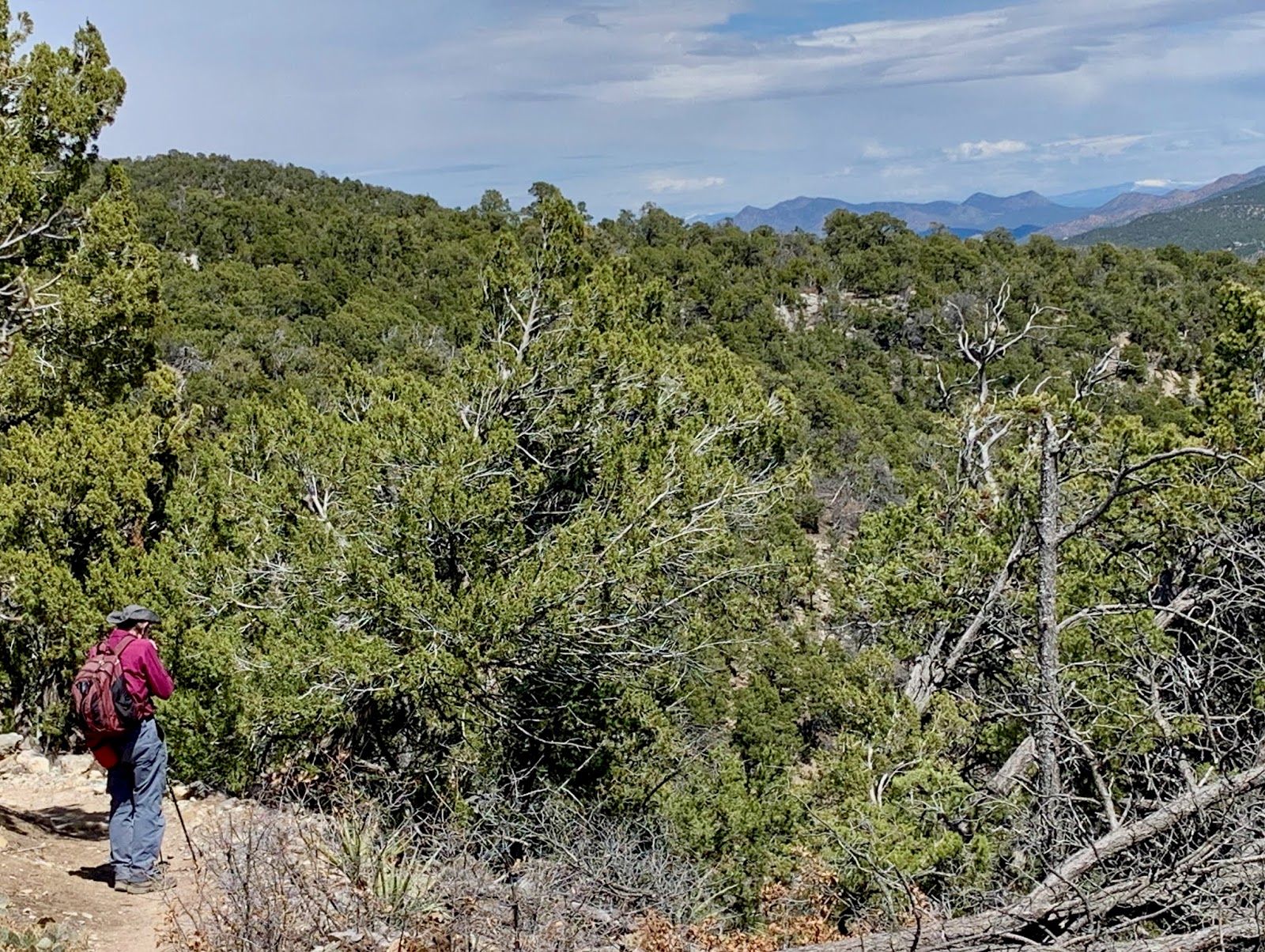
Set off with two MN Mountain Club hikers (with social distancing of course) to explore Domingo Baca canyon, once again. This trail is among the most popular in the Sandias and leads to what is left of TWA flight {that crashed on 1/19/55},before joining the La Luz trail almost at the top of the mountain.  Not surprisingly, the rating for this in-and-out 7-mile hike is "difficult" with elevation of ~3500 ft. Needless to say, we didn't make it all the way up; turned around at ~2.5-mile mark. 

Blooming Texas sacahuista also called Bunch grass or Beargrass


Bearded irises


While the temperature on this last day of April was already in the high 80s, the trail was surprisingly cool  as long as the trail followed the small stream. 


Quiet lunch spot by the stream; only trickle but cool nevertheless.

Baby white aster

Thursday, April 23, 2020

Tree Spring Trail, Sandia Mountains, NM, 4/23/20


Covid-19 pandemic hike #6.


Our NMMC hiking companion suggested we hike Tree Spring trail in the Sandias this week; a 2-mile trail with a constant steady very mild incline (880 feet.) 


After this pleasant stroll up, we were rewarded by western views of the valley that no matter how often we see them, continue to instill a sense of awe.
Total distance 4.5 miles, including connecting 1/4 mile trail to the crest.


How appropriate during these times of hardship for so many.

Thursday, April 16, 2020

Otero Canyon, Cibola Nat. Forest, NM, 4/16/20 - Revisited


Covid-19 pandemic hike #5

Set out with our NMMC hiking companion to hike Canoncito-Bart's Trail from 60 Hikes Within 60 Miles but found the trailhead locked with dire warnings posted about trespassing on private land.
So we came up with a plan B; hiking Otero Canyon in the Manzano Mountains.
(Note: for very different pictures see Otero Canyons blogs posted on 4/8/18 and 5/28/18.)

Followed Otero Canyon trail to West Ridge trail to Tunnel Canyon trail and back to trailhead: total distance ~ 5 miles, elevation ~ 750 ft.


We had a snowstorm just a few days earlier...


Got some pleasant views following the ridge. 


Nature just waking up and getting ready to put on a show. 

Wednesday, April 8, 2020

Acequias - Bosque Preserve, Corrales, NM, 4/8/20

 Covid-19 pandemic hike #4


Another Wednesday hike from 60 Hikes within 60 Miles. Again without the NM Mountain Club (NMMC) hikers, except that today we were joined by a fellow NMMC hiker and her husband.  Practicing social distancing turned out a bit easier than I had expected.  


The hike started at the (closed) Corrales Recreation Center and followed an acequia (a ditch used for farmland irrigation) north for about 3 miles. We then turned east and south to join the Bosque Preserve acequia for another 3+ miles back to our starting point on Corrales Road.
All in all a 7.3-hike with zero elevation - a feat in mountainous New Mexico!


We strolled by orchards, fields, horse corrals and vineyards. 


Thursday, April 2, 2020

Canyon Estates- Faulty Trails, Sandia Mountains, NM, 4/1/20

Covid-19 pandemic hike #3

Given the need for social distancing during the coronavirus pandemic, Jim and I set out for another Wednesday hike without  the company of the Mountain Club members. We selected a hike close to home on the south side of the Sandias from the 60 Hikes 60 Miles guidebook. 


Starting from the Canyon Estates trailhead at about 0.4 miles, we found the Travertine Falls.
The guide book describes the falls in spring as "a cool green oasis".  
A waterfall, New Mexico style, I call it. 


Over the thousands of years the probably much more abundant falls created these limestone and travertine grottos. We did not venture inside: a bear hibernation den, perhaps?


We followed the Crest trail for about two miles up to the intersection with the Upper Faulty trail (as well as the CCC trail leading to South Peak.)  Our intention was to follow the Upper Faulty trail for about 1.3 miles and then descend the steep and rocky Faulty trail for  about one mile back to the trailhead.  After tiring ourselves out with numerous switch backs on the Crest trail, we ambled about 1/2 mile on the Upper Faulty trail and re-traced our steps. Total distance: 5.2 miles, ~ 1,100 ft.    


Wincopin trail, Savage Park, MD, 4/16/2024

Midweek afternoon stroll along the Wincopin red trail in the company of Master Gardener Ann Coran, who invited us on a spring wildflower hun...