Sunday, October 7, 2012

Pino Trail, Sandia Mountains, June 3, 2012


Pino trail, 4.5 miles one way, starts at the Elena Gallegos Picnic Area and climbs up Pino Canyon to the Crest Trail.  I remember it as a a great hike for hot summer weather with plenty of deep shade along the tall tree cover. The hike started out as planned along the rocks, pinons and junipers.


We met a man standing on the trail intently focused on taking pictures of something on the side of the trail.  I asked him what was of interest.  And here it is. Can you recognize the plant?  Poison ivy.
 
As we walked up this is what we found. Instead of a dense shade...  dead trees, killed by the pine bark beetle.
 
The whole mountain side was devastated.  We hiked about 3/75 miles up, only to find the same destruction every where. And, of course, no more shade, making the hiking challenging in high heat.
 
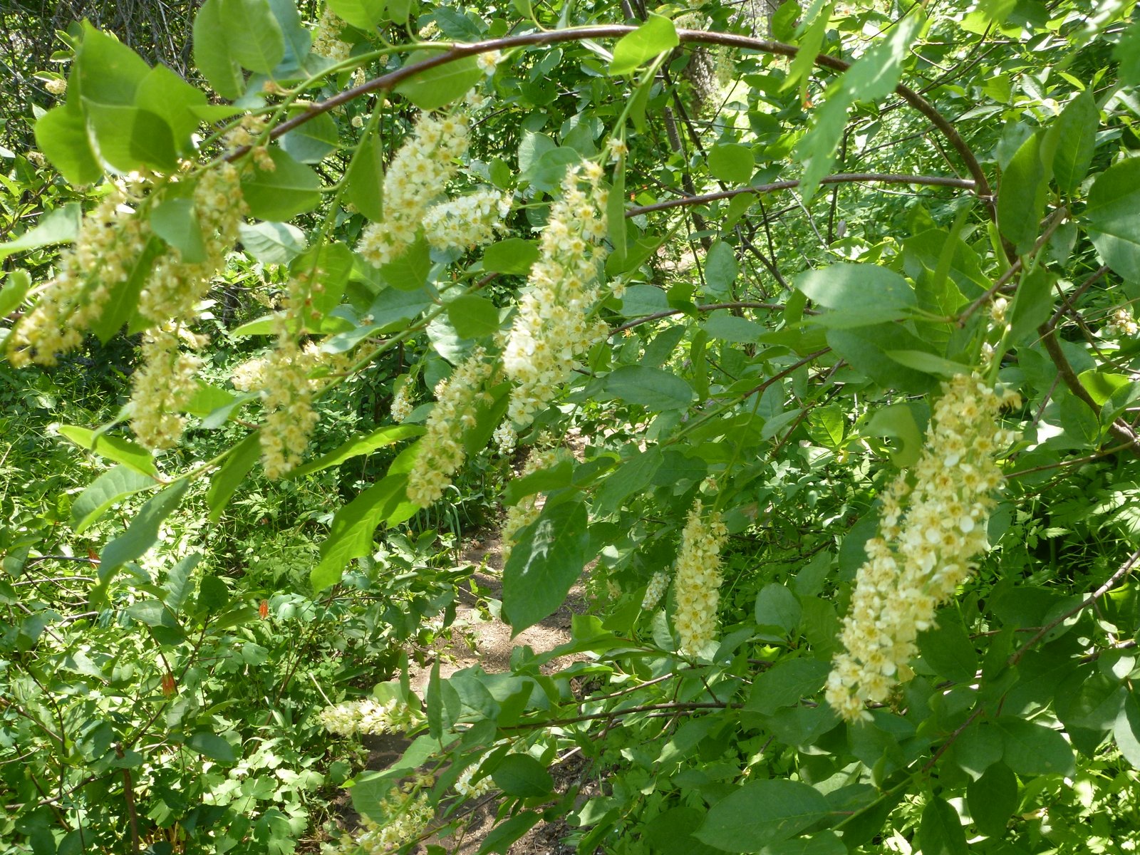
Still, it was spring and here and there we crossed nature in full bloom.


A field of Columbine....

and even a trickle of water.
Posted by Picasa

St. Mary's Falls Trail, Colorado Springs, CO, 9/16/12


This hike is just outside of Colorado Springs in  North Cheyenne Canyon Park, past the Starsmore Discovery Visitor Center and the Helen Hunt Falls. The trail head started at "the hub," the junction of hiking and mountain bike trails, and followed Gold Camp Road.  Distance: about 4 miles round trip, elevation: 1,500 feet.

The trail started out by making a large horseshoe semi-circle and passed by an old collapsed mining tunnel.  

From there the trail followed a stream all the way to the waterfall.  Except that the waterfall looked more like water gliding down rocks. 

A steep trail with eight long switchbacks leads up to the top of the waterfall, which I attempted to reach.  Unfortunately, I did not find the primitive side trail that leads to the top of the falls but I got a nice workout tackling the switchbacks.


Posted by Picasa

Lizard Rock Trail, Colorado Springs, CO, 9/14/2012


For our first Denver w.e. trip hike, Jim picked Lizard Rock trail in the Lost Creek Wilderness about an hour's drive from Colorado Springs.  Our challenge was finding the trailhead.  We missed the turn off to the Spruce Grove Campground (on Country Road 77 off US 24) and waisted about an hour retracing our steps, asking for directions, and finally finding the campground. 

The hike started with a rock tunnel and then led to open meadows flanked by

weird rock formations.


After about two miles the grade becames steeper. The trail came to a fork, with the right fork leading to Hankins Pass and Lake Park, a 15-mile fool loop. We took the left fork, up to Lizard Rock,


and were rewarded by great, not quite 360-degrees, views of the Lost Creek Wilderness with the Sawatch Range to the west.

Posted by Picasa

Friday, October 5, 2012

Santa Barbara Trail, Pecos Wilderness, NM, 9/3/2012


For our Labor Day hike we hiked the Santa Barbara trail, a hike I had done many years ago as a backpack in an attempt to reach Truchas Peak.  The hike start at the Santa Barbara Campground and is fairly level for the first mile.

After about a mile, the trail splits into three.  We took the West Fork.

Rio Santa Barbara.
I had memories from years ago of a a rushing river I crossed with great difficulty carrying a pack.  The river now has a bridge ...

Another mile or so further we discovered a gorgeous meadow, with several campsites beckoning.  As you can see, we were 2-3 weeks early for full fall colors.

Entertainment at our lunch spot by the river.

The end goal for today's hike: Chimayosos Peak in the background.  I highly recommend this hike. It has rocky peaks, aspen, a river,  great backpacking campsites, beautiful meadows and even lakes and a waterfall (we didn't make it that far.)
Posted by Picasa

Mount Rose, Lake Tahoe, Nevada, 8/11/2012


We spend a day exploring the Mt. Rose Wilderness area, north east of Incline Village.  No, we did not make it to the top of Mt. Rose (10,778 ft) but never the less managed to see some tremendous panoramic views.

Lake Tahoe.


The gang at the Galena waterfall where we stopped for lunch.


Top view of the waterfall looking to the north east.
Posted by Picasa

Kings Beach, Lake Tahoe, CA, 8/10/12


Jim and I shared a w.e. in early August with friends at Lake Tahoe.  Our first adventure included a kayak trip along the shore of this crystal clear lake.  Lake Tahoe is largest Alpine Lake in North America and the 2nd deepest. (1,645 ft) Being fed by mountain runoff, the waters are know for being icy cold but the shallower waters along the shoreline were actually warm enough for a swim.

All of us posing before take off.

Patty and Geoff, and

Katy and Marlin.

Next time I go to Lake Tahoe, this is what I will try.
Posted by Picasa

Wincopin trail, Savage Park, MD, 4/16/2024

Midweek afternoon stroll along the Wincopin red trail in the company of Master Gardener Ann Coran, who invited us on a spring wildflower hun...