Monday, December 31, 2012

Green Sand Beach, South Point, HI, 12/28/12


This was a 4-mile round trip hike traversing a spectacular landscape. Of interest, Green Sand Beach is the most southern beach in all of the country.


Only a 4WD road with deep ruts leads to the beach. Some cover the two miles to the beach by truck but most people walk, as we did.


No trees, only barren wind-swept land covered in lava rock and dunes.  It reminded me of tundra. No tundra here, of course.


We set out at 3:50 pm and reached the beach a little before 4 pm.
And here it is, finally,


This very unique beach consists of semi-precious gem stone olivine that has been broken down by the waves and is mixed with black lava sand.  A steep trail with a ladder and steps carved in the cliff leads to the beach. 

Getting there so late in the day - the pictures are dark due to the lack of light - we were not able to enjoy the beach as we would have liked.  Just walked the surf a little and it was time to head back before night time. 
Posted by Picasa

Sunday, December 30, 2012

Punalu'u Beach, Kau, HI, 12/28/12


We drove out to Punalu'u Beach, on the south-east side of the island, just to see the sea turtles. And we got lucky.

Enjoying the surf,


and the sun.

Of course, we were not the only ones around to stare at the turtles. At least five other people gathered around, camera in hand. Those brave enough to snorkel in the high surf have a good chance of being surrounded by turtles. Actually, the surf was really high that day and there was almost nobody in the water. Although I was very tempted, I stayed out too. Note this is a black sand beach.  From there we headed out for a hike to Green Sand Beach, just east of South Point - See post above.
Posted by Picasa

Saturday, December 29, 2012

Ala Kahakai Trail, North Kona Coast, HI, 12/26/12


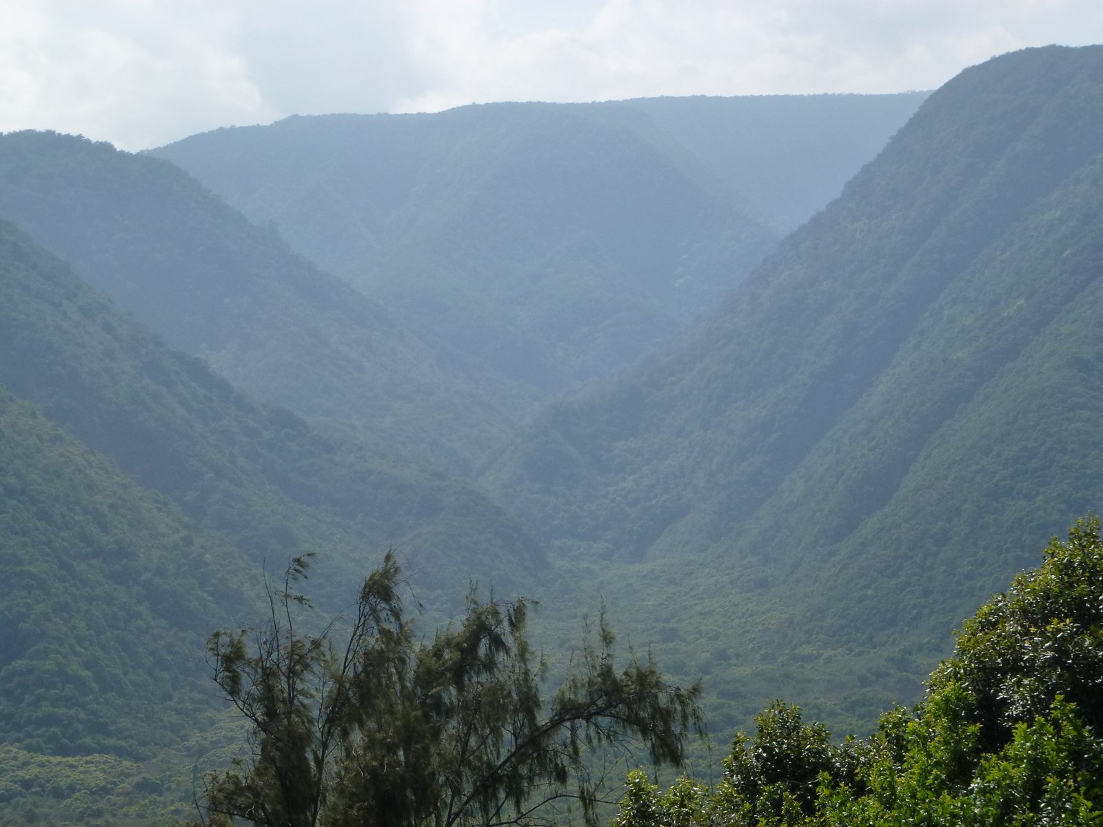
This was a dream of a hike. Imagine hopping from beach to beach all day long.  We followed the Ala Kahakai trail from Spencer Beach Park and hiked from beach to beach until, four beaches further, we reached Hapuna Beach.  This is an ancient Hawaiian trail that linked fisher men's trails and Hawaiian Kingdom roads. In ancient times, it was 175 miles long.  Today, only the section from Spencer Beach to Puako Bay on the Kona Coast has signage.

Spencer Beach Park is where we started our hike.  The beach is maintained by the county and used by local people.  On Christmas Eve, we strolled in the surf and listened to Hawaiian Christmas chants sung by a group of Hawaiians families gathered on the beach to celebrate the holiday and see the sunset.

Following the coastline and lava fields, we arrived at Mau'umae Beach.  This small, secluded beach is also used by locals. It cannot be reached by car.  The directions to get to this beach include, "park at telephone pole # 22 and walk."
After more beautiful shoreline walking, 
 
we reached a very small unnamed beach 

with a tide pool in the back.

To get to the next beach, Mauna Kea Beach, we had to hike by hole #3 on the Mauna Kea golf course. Notice that in order to hit the green, the golf ball must go over the inlet.
I took this picture for my brother and my son-in-law, who love to golf and will appreciate the hazard. The guidebook describes it as "vintage Hawaiian golf."

Mauna Kea Beach Resort with all the trimmings, but….

the south side of the beach was open to the public. It was calm and beautiful.  This is my favorite beach so far on the Big Island, a half-mile crescent with beautiful fine sand and calm surf.  I went for a swim.


After more hiking along the surf,

We reached Hapuna, another well known beach with a resort.  A fine beach but not as stunning as Maunu Kea.


View from the south of Hapuna beach.  This is where we lost track of the trail and had to turn back.
All in all another fabulous hike on the Big Island. 
Posted by Picasa

Tuesday, December 25, 2012

Pololu Valley, North Kohala District, 12/24/12


This is the shortest hike to date on the blog, all of 0.7 miles down a steep trail into Pololu Valley. Hiking down the trail is the only way to access this uninhabited valley.

View from about half-way down the trail.  You can see the indented the coast, each one leading into a valley.

Once we reached the bottom we had a good view of valley,

and the black sand dunes covered with vegetation.

The mouth of the valley had several inviting camgrounds set up, with wood stacked up ready to light a fire.

Artwork on the beach. The beach is covered with beautiful round stones of all colors and sizes. This valley was a source of building stones for ancient Hawaiians.  Legend has it that a long chain of people passed the stones one to the other all the way to where the stones were needed. If a stone was dropped, it was left where it fell so as to not interrupt the rhythm of the chain.  It is believed that thousands of tons of stones were removed from the valley in this way.

View to the west from the beach. This was a fun mini hike into one of the Big Island's more remote places.
Posted by Picasa

Thursday, December 20, 2012

Waipi'o Valley Wagon Ride, Waimea, HI, 12/20/12


While this is technically not a hike, I still wanted to share the beauty of this land with you.
Waipi'o valley, also known as the Valley of the Kings, has a very long history in Hawaiian history and is sacred to Hawaiians.  It is about a mile wide and about nine miles deep.  The valley is accessible by foot, horse or by 4WD only.  The first thing you notice as you approach the steep, 25% grade, one-lane road, is the black sand beach. The road is less than one mile long and descent 900 feet. (An interesting tidbit of information, Lance Armstrong biked up the road in less than 9 minutes.)

Once we reached the valley floor, we piled onto the mule-drawn wagon.

Shall I mention that it was raining and that the rivers (five in all) were raging?
Taro field.

First river crossing.  There are no paved roads in the valley, no running water and no electricity past the first mile or so. If you need emergency medical care, a helicopter has to come in and rescue you.
Before Captain's Cook time, the valley was believed to be inhabited by 20,000 Hawaiians.  The valley was abandoned for a number of years after the 1946 tsunami.  About 60 people live there now, cultivating taro and growing exotic fruits. 

Feral horse 

One more river crossing before transferring back to the jeep for the steep ascent.
Posted by Picasa

Wednesday, December 19, 2012

Kilauea Iki Trail, Volcanoes National Park, HI, 12/18/12


 This hike goes around and through a new volcano crater, formed by the 1959 eruption of the Kilauea volcano.  The hike is about four miles long and starts in a rain forest with glimpses of the volcano crater.  We got really lucky with this hike.  Do you notice on the picture below: a blue sky, the first real blue sky we encourntered after five days in Hilo. 


View of the Kilauea crater. Steam vents are created by rain that seeps through the cracks and turns into steam when trickling down to the hot core below.

While the crater floor appeared smooth from above, we soon discovered that it was an uneven,  buckled and warped mass that required careful stepping.


Back in the rain forest again with just about every living thing covered in moss. 

The steam vents are not located in the Iki crater but in the Halema'uma'u Crater, a smaller crater in the larger Kilauea crater.  For much of the 19th century, this small crater was a bubbling and boiling lava bed, visited by many including Mark Twain who called it "the fiery pits of hell."
This crater is also the home of Madame Pele, the Hawaiian goddess of fire.
.
Exceptional hike because of the location. Where else can you walk on newly formed earth and an active volcano. Walking in the length of this small crater made us aware of the massiveness of the eruptions.

Posted by Picasa

Wincopin trail, Savage Park, MD, 4/16/2024

Midweek afternoon stroll along the Wincopin red trail in the company of Master Gardener Ann Coran, who invited us on a spring wildflower hun...