Thursday, May 28, 2020

Armijo-Faulty trails loop, Sandia Mountains, NM, 5/28/20

Covid-19 pandemic hike #12


Set off for another Thursday hike with Mountain Club co-hikers for this 4.9-mile loop in the lower eastern Sandia Mountains. Started at the Cienaga Horse Bypass which added 1.5 miles to the hike for a total of ~6 miles. Elevation ~970 ft.  

The Armijo trail, the first leg of the loop,  is described in Sandia Mountains Hike Guide as "one of the best-kept secret in the Sandias" and the All Trails app mentions the "beautiful wildflowers."   
And so it was, wildflowers in bloom galore amidst the ponderosa pines. 

Salsify


Lupine


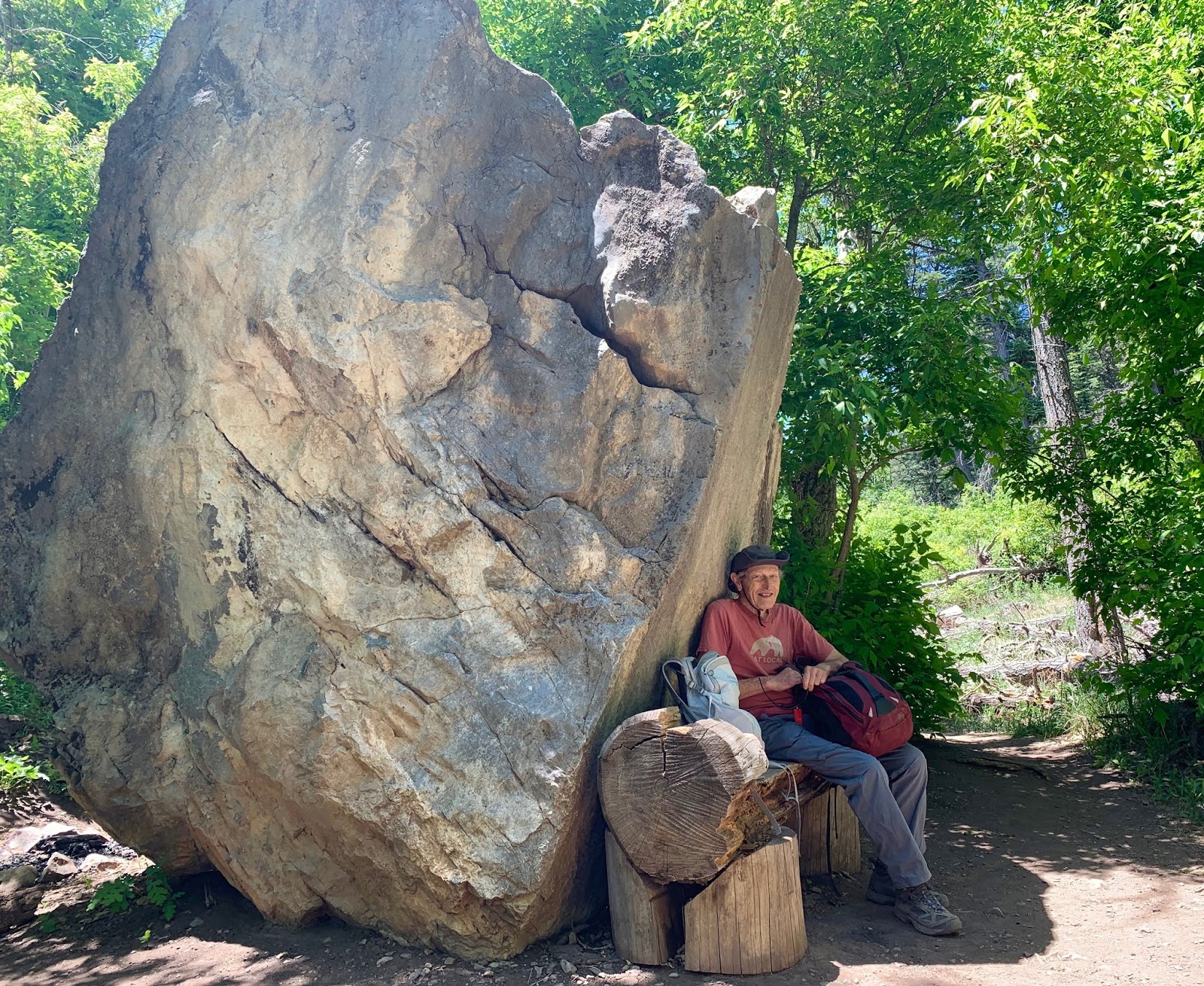
Perfect lunch spot on the Faulty trail.

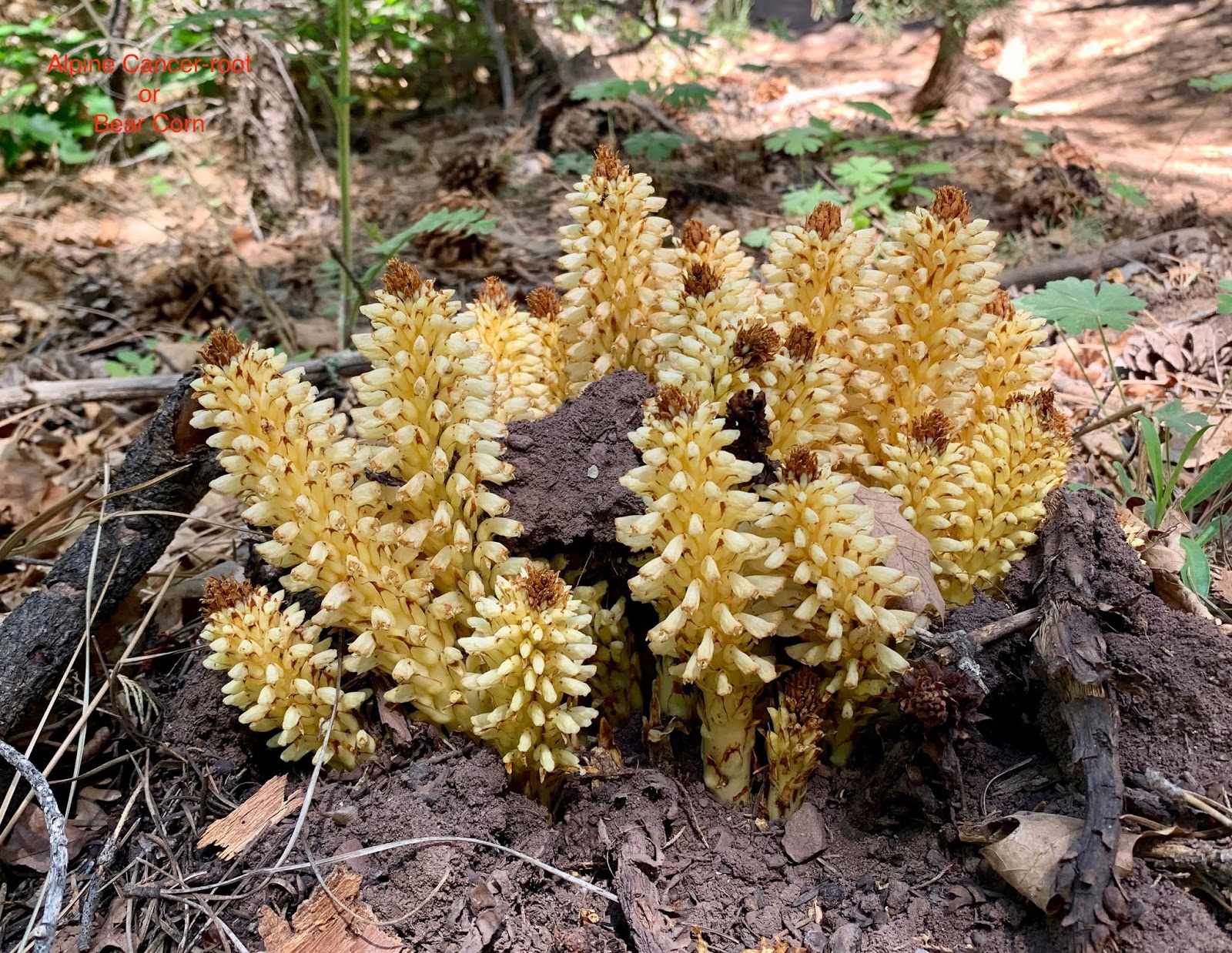
Alpine cancer-root, also called bear corn.

Western Wallflower


New Mexico Locust


Monday, May 25, 2020

Embudito Canyon Loop, Sandia Mountains, NM, 5/24/20

Covid-19 pandemic hike #11


We set off for a brief morning hike at the Spain trailhead only to find the parking lot completely full. Clearly, it is Memorial Day weekend and people are eager to get outdoors on this splendid morning.  So we drove to the next trailhead south, Embudito Canyon.  My All Trails app told me it is possible to do a 4-mile loop, hiking at the higher elevation of the canyon and returning along the bottom canyon stream bed.  

Little did we know that this hike is more of a scramble than a walk, especially along the stream bed on the return leg, requiring finding our way thru dense vegetation, muddy stream trails buzzing with insects, and scrambling around boulders. 

Total distance: 2.8 miles (we took a shortcut.) Elevation: ~800 ft


Scarlet Hedgehog Cacti


Hedgehog cacti

Thursday, May 21, 2020

Canyon Estates-Faulty trails, Sandia Mountains, NM, 5/21/20


Covid-19 pandemic hike #10

Banana Yucca


For details about this hike, see April 1 Covid-19 pandemic hike #3.
Today, our NM Mountain Club co-hiker and I set out to redo this loop hike described in 60 Hikes Within 60 Miles.  We got a got early start (9:10 am) and followed the Crest trail to Upper Faulty and then to Faulty without incident. As we walked, we enjoyed the flowers and colors on this beautiful balmy late spring day. Arriving at the Upper Faulty - Faulty crossroad, I did not pay much attention and followed the section of Faulty in front of me.  Over half a mile later we noticed my mistake and retraced our steps, adding 1.2 miles to the hike. Total distance ~ 7 miles with ~1200 ft elevation.  

Thursday, May 14, 2020

Mars Court, Cibola National Forest, NM, 5/14/20


Covid-19 pandemic hike #9


We set out reluctantly for this hike as Jim did not have good memories of it when he hiked with the Mountain Club in this area. Only minutes into the hike he said, "This is what I remember," a rather desolate landscape....


About 2 miles on trail 161 we reached a clearing that gave us expansive views of David Canyon and the mountains in the background. The canyon is three miles long and about one mile wide with a 
14-mile network of trails called Mars Court. 


Hiked a bit over 2 miles south and southeast and then turned right on Forest Road 321 that follows the bottom of the canyon to trail 162 which took us back to the trailhead after a 0.8 mile mild uphill. 


All along the canyon bottom with saw burned ponderosa pines, typically licked by flames about a yard or two up the trunk, and often only on one side.


The "pond" appeared to be a rectangular piece of plastic (top right of the sign) with mud and some grass.  A few birds flew away as we passed by on the trail.  Not sure of the purpose of the project. 

  The spring chartreuse colors made this 5-mile loop particularly attractive. 


Thursday, May 7, 2020

Crest Trail, Sandia Mountains, NM, 5/7/20

Covid-19 pandemic hike #8


We discussed whether to attempt this hike rated as "strenuous", or go to Tent Rocks, a hike rated as "moderate."  We set off for Tent Rocks about 9:30 am only to discover it is a 110-mile round trip from Albuquerque and our car battery had less than a 100 miles to go.  So, first stop: the Tesla supercharger. One hour later, we drove past Cochiti Pueblo to find the road open to local traffic only and a medical station doing Covid-19 testing at the entrance of the pueblo.  To make sure we got the message, a large sign read "Tent Rocks National Monument - Closed."

Back to our first choice: Crest trail from Placitas, at the northern end of the Sandia mountains.
 With all these miscalculations, we got to the trailhead extra late, just past noon, but still managed to hike just under five miles, in spite of the heat and wind. The Crest trail, which follows the whole length of the mountain, is 26 miles long.  For the first couple of miles however, the trail rounds the northern end of the mountain and runs parallel to the valley, before starting its climb to the crest. 


Found a new app: iNaturalist, a plant identifier. It tells me the flowers above are called Rose-heath or Baby white asters.

Wincopin trail, Savage Park, MD, 4/16/2024

Midweek afternoon stroll along the Wincopin red trail in the company of Master Gardener Ann Coran, who invited us on a spring wildflower hun...