Wednesday, November 6, 2019

Aravaipa Canyon Preserve backpack, AZ, 10/24 to 10/26/19


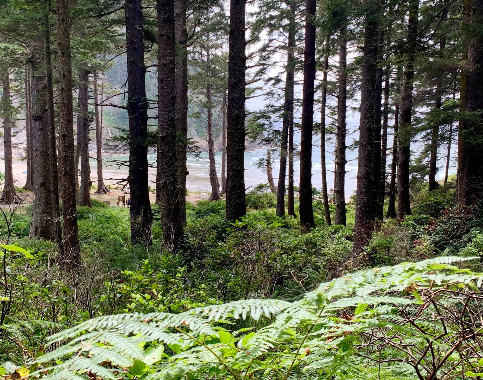
Four day hikers and five backpackers (those with the tall packs) excited and ready for to explore  11-mile long Aravaipa Canyon, and some of its side canyons.  While not exactly a slot canyon with widths from 50 to 300 feet and canyons walls as high as 1000 feet,  Aravaipa canyon is a very impressive oasis in the desert.


Day hikers and backpackers hiked about 3 miles in, wading in and out of
Aravaipa creek just past Javelina canyon. Day hikers turned back and backpackers found a beautiful campsite on a sand bluff 4-5 feet above the creek.  


Very start of the journey before entering the narrower part of the canyon.


A well deserved rest and settled for the nite.


Not before enjoying a meal of fresh green beans, canned chicken and quinoa or couscous.  Forgot the smores.  Maggie took the lead and collected enough firewood to last us for both nites out.

Had a moment of excitement when John (above) lowered our food bag from a tree and scarred a mother and babies of coatis (coatimundis) from the stream.  They clamored up the side the canyon, creating an avalanche of rocks to tumble down.  No one got hurt.  


Ventured another three miles into the canyon after the first nite, past Horse Camp canyon (see map above.)  Didn't manage to explore any of the side canyons.  As you can see, there is no dedicated trail; we made our way along and in and out of the stream, and finding our way over the boulders.  How did we keep our feet dry you ask?  We didn't.  Our companions wore canyon runners that allows for water to stream out, and Jim and I had regular hiking boots with wetsuit booties that kept our feet comfortably squishy wet and warm.  Gaiters kept the sand and small rocks out. 


A great thanks to our companions, Maggie, Pete and John. Hiking Aravaipa  canyon had been on our bucket list for over two years.  Could not have done it without them.

Monday, November 4, 2019

Chiricahua National Monument, San Simon, AZ, 10/22/19


Day hike #2:  Nine of us set off to explore the many trails of the Chiricahua National Monument.  The monument is one of several "sky islands" in southeastern Arizona surrounded by desert grasslands.
The native Apaches called this area "The Land of Standing Rocks."
My camera could not capture the vast and diverse landscapes.


Little fellow sunning himself on a lichen covered rock.


Thursday, October 31, 2019

Cochise Indian trail, Coronado National Forrest, AZ, 10/21/19


Joined our Copper Canyon, Mexico, companions for five days of hiking east of Tucson, Arizona.
First hike: Cochise Indian trail, southeast of Tucson, located in the stronghold area of Apache chief Cochise, who defended his people for 15 years against the incursion of US Army in the mid 1800s.  


Century plant.  
Plant too tall to take in one shot.  
Called "century" because it bloom after 100 years and then dies. 


The trail is 5 miles long and starts at the East Cochise Stronghold campground, winding its way up to Stronghold divide.  We made it up to the divide, a 6-mile round trip. 


Wednesday, October 9, 2019

Ellis/10K/Survey trails loop, Sandia Mountains, M< 10/9/19


NM Mountain Club Wednesday hike, 5-mile loop hike., 9 participants.


 Fall colors in full display.


This tree stump caught my attention:
Note the small branches on the outside of the tree and the corresponding large "spikes" on the inside of the stump. 


Pow wow around a medallion tree.

This Douglas Fir started growing in 1455!

Friday, October 4, 2019

Palomas Peak, Sandia Mountains, NM, 10/3/19


First NM Mountain Club Wednesday hike since late June.  A very short hike, ~ 3 miles round trip, to a very familiar spot on the East side of the Sandias: Palomas Cliffs.
Palomas means doves in Spanish and refers to the limestone bands seen on the cliffs.
See posts 8/5/18 and 7/18/15 for pictures of the cliffs. 

I
nstead of relaxing on the beautiful lower edges of the cliffs, we headed towards the top of the cliffs, curiously named Palomas Peak.  


Short side trip to find a Medallion tree. The medallions are identification markers placed on very old trees.  Apparently, in the 1920s an unknown person took a core sample ancient trees, dated them, and placed a marker on the tree, 84 of them in total. 


The tree above started as a seedling the year Mississippi became the 20th state. 


It's fall: mushroom season!
  An oyster mushroom found on the side of the trail. A little dry; will be delicious rehydrated. 

Sunday, September 29, 2019

Slow Roll 505 Bicycle "Tour the Farms." Rancho de Albuquerque, NM 9/29/19

 Slow Roll 505 community bike ride. My thanks goes to riding companions Katy and Marlin for providing encouragement and support during the ride but also for loaning me one of their bikes.
No car transport for the bikes... so we rode back and forth to the event location. 
Strolled by four farms during our ~7-mile tour. Here we are starting the ride at the Agri Nature Center and Rio Grande boulevard.  

 First stop, Jim's Pumpkin and Green Chile farm,  reached after riding through the North Valley for about 5 miles. 

 NM style low riders???

 Stopped at a regenerative veggie farm, and a hops growing farm, before stopping at Los Poblanos Lavender farm to admire the llamas.

and hear about the plight of bees. 

Wednesday, September 4, 2019

Cape Falcon trail, Oswald West State Park, OR, 8/20/19


The Oregon coast is known

for its large trees, with the Sitka spruce being the most well known.  We were greeted by this giant at the start of our hike to Cape Falcon, just north of Manzanita. 


The 2.5-mile section of the Oregon Coast Trail (OCT) runs through the rain forest along the beach and up to the cape. 


After leaving the beach, the trail slowly winds up to the cape along ferns, salal and salmonberry. 


Patapsco CCC Remains trail, Patapsco State Park, MD, 10/23/24

 Our first hike with Senior Rangers organized by Maryland Dept of Natural Resources. Actually, the fifth outing, as we missed some, and some...