We lucked out on this hike! The whole area is closed to hikers from March 1 to August 15 to protect wildlife.
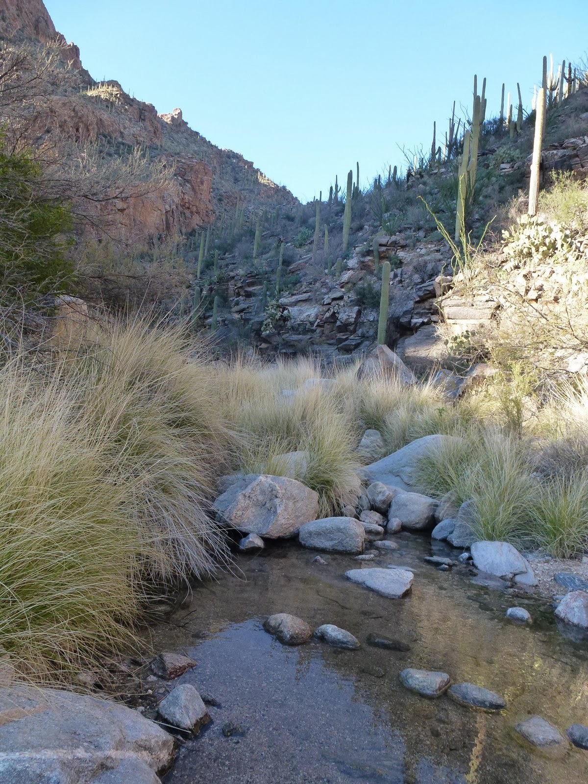
Fletcher trail, 4 miles round trip, starts in a stream bed about 1/4 mile up Piedra Lisa trail. It follows the stream north for about 1/2 mile, then heads into the woods paralleling the stream bed. The turnoff is easy to miss. See 4 pictures below - I decided on the way back to take a picture as a reminder :)
After another 1/3 of a mile or so, the trail crosses the stream bed and heads east straight up a ridge. The elevation of this hike was ~1200 feet, and all of it was trekking up the ridge.
Disappointing views from the city from the top of ridge - hazy day.
After topping the ridge, the trail heads south and ends at the foot of the UNM Spire, a favorite of climbers.
Turn off from stream bed. Yes, it did have a cairn.
Almost back at the car we turned around to a great view of both the UNM Spire and the Prow.
Monday, February 10, 2014
Thursday, January 30, 2014
Juan Tabo Canyon Trail #4, Sandia Mountains, 1/25/14
A day of exploration! First time hiking trail #2, #2B and the southern section of trail #4. Finding the trail head was challenging. No markers. We hiked almost to the end of Trail 2 before I was able to admit that, yes, we were on the correct trail. Trail #2 ended in a residential area and was barricaded. Turning back, we could see the canyon cutting into the mountain where the southern end of trail #4 ends.
Trail #4 started in a wide riverbed...
that, entering the canyon, gradually got narrower...
and narrower. Water flows for the second half of tail #4 and we hopped our way back and forth following the stream bed.
End of the trail: the boundary with the Sandia Pueblo grounds. This is not a well known trail. Only locals seem to know it. We were alone most of the time which gave us the feeling of being completely separated from civilization, although the city was right over the hill and city noises were audible from time to time.
Tree Spring Trail, Sandia Mountains, 1/5/14
First hike of 2014. Looking for snow, we picked a hike on the east side of the mountain. We donned our yak tracks and started out on this trail covered with more ice than snow, got side tracked, hiked part of Oso Corredor trail and.... ended up back to the trail head.
Got to enjoy some great eastern views once we found the correct trail climbing up the mountain.
After 2 miles, we reached the Sandia Mountain Wilderness boundary. The Tree Spring trails merges with the 10K Loop and the Crest trails at this intersection. Just 200 feet west, we found an outlook with spectacular views of both the mountain and the city.
Saturday, January 4, 2014
Ventana Canyon to Maiden Pools, Tucson, AZ, 12/30/13
We set out to hike Mount Lemmon about mid-morning but were turned away because of snow and ice on the trail. That left us the option of finding a (half-day) hike at lower elevation. We explored Sabino Canyon during our previous stay in Tucson about five years ago and so settled on much less visited Ventana Canyon. Until recently access to the canyon was difficult because permission was needed to cross private land. A one-mile easement was built by the county opening up the canyon to all.
Friday, December 27, 2013
Mano Trail, Sandia Mountains, 11/17/13
We hiked this trail along the west side of the Sandias almost two years ago (see blog Feb 2012.) It is a short and pleasant hike with almost constant views of the city and just enough excitement hiking over multiple ridges. The hike starts at Embudo trailhead and veers south by the flood-control reservoir.
The Mano trail actually starts at the base of the power line above and ends at another set of power lines close to the Copper Canyon Open Space parking lot.
Sunday, November 17, 2013
Maxwell Falls Trail, Denver, CO, 10/27/13

We hiked this trail with our friends Katy and Marlin. I managed to forget, not my camera, but the battery in my camera, and Katy kindly took pictures with her iPhone.

This hike is a very short, level 20-minute walk to the falls overlook. We heard the falls but did not see them. Viewing the falls requires rock scrambling down an intermittent side trail.
Saturday, November 9, 2013
Chimney Rock, Ghost Ranch, 10/13/13
We spent a w.e. in Abiquiu with our friends Katy and Marlin and decised on hiking Chimney Rock on Sunday morning. We found striking fall colors in addition to the suble beautiful southwest palette that must have seduced Georgia O'Keefe when she settled in this region.
Subscribe to:
Posts (Atom)
Patapsco CCC Remains trail, Patapsco State Park, MD, 10/23/24
Our first hike with Senior Rangers organized by Maryland Dept of Natural Resources. Actually, the fifth outing, as we missed some, and some...

-
Panoramic photo of approach to Dripping Springs Natural Area with Organ Mountains in background. A thriving resort in the early 190...
-
Missed today's Wednesday Mountain Club snowshoe and instead set out for a hike in the foothills, from the Menaul trailhead to some wa...
-
First of our micro hikes in the South Dakota Black Hills while visiting with Jim's grandson, Micheal. Above the Mount Rushmore rock car...