Friday, December 27, 2013

Mano Trail, Sandia Mountains, 11/17/13


We hiked this trail along the west side of the Sandias almost two years ago (see blog Feb 2012.)   It is a short and pleasant hike with almost constant views of the city and just enough excitement hiking over multiple ridges. The hike starts at Embudo trailhead and veers south by the flood-control reservoir. 

The Mano trail actually starts at the base of the power line above and ends at another set of power lines close to the Copper Canyon Open Space parking lot.  

Favorite part of the hike: getting a welcome respite from crossing the plateau-like mesa after climbing a couple of ridges. Yes, we are still on the west side of the Sandias; the city is just a hop to the right.

Posted by Picasa

Sunday, November 17, 2013

Maxwell Falls Trail, Denver, CO, 10/27/13


We hiked this trail with our friends Katy and Marlin.  I managed to forget, not my camera, but the battery in my camera, and Katy kindly took pictures with her iPhone.

This hike is a very short, level 20-minute walk to the falls overlook.  We heard the falls but did not see them.  Viewing the falls requires rock scrambling down an intermittent side trail.

Guest at lunch. I discarded my apple core and within minutes a chipmunk joint us in the meal. 

Marlin at right, Jim in back.

After lunch, we joined the Cliff Loop to for better views of the Maxwell Falls drainage area.

Back to the main trail meandering through lodegepine forest. All in all a short, sweet hike with fall colors still at their best at this altitude in late October.
Posted by Picasa

Saturday, November 9, 2013

Chimney Rock, Ghost Ranch, 10/13/13


We spent a w.e. in Abiquiu with our friends Katy and Marlin and decised on hiking Chimney Rock on Sunday morning. We found striking fall colors in addition to the suble beautiful southwest palette that must have seduced Georgia O'Keefe when she settled in this region.

The hike starts out behind the visitor center and stables and gradually climbs up the ridge.  Elevation 6,500 to 7,100 feet and 3 miles round-trip. 


The Piedra Lumbre basin at our feet and Mount Pedernal visible at the horizon on the far left.

Lake Abiquiu, formed when a dam was built on the Chama River.
Posted by Picasa

Friday, August 30, 2013

Hidden Lake and St Mary Falls Trails, Glacier National Park, MT, 8/28/13


I call this the boardwalk trail.  It starts at Logan Pass at the Continental Divide and 

meanders uphill for 1.5 miles along small streams, carpets of wildflowers,

and a waterfall.

It was an overcast day and the sparkling alpine lake we expected appeared foggy and grey.  Worth noting is that with climate warming the alpine meadow surrounding the lake is receding and trees are moving up the hill, displacing the wildlife that lives in the alpine meadows. 

Four big horn sheep on the mountain side.   

This time I was able to focus enough to get a picture.

Marmots in the foreground.  Look to the upper right of the ridge.

Second short hike of the day: St Mary Falls.  We got off the Going-to-the Sun Road shuttle at the Gunsight Pass stop and hiked about 3/4 mile to Baring Fall where we had lunch and then followed the trail parallel to the road past St Mary Lake to the falls.  Caught the shuttle at the St Mary Fall stop. 

Couldn't take a picture of all three falls at once.  Above, the lower St Mary Falls

and the upper two falls. Jim said the falls had "good energy."

Short section of St Mary Lake, an unexpected find for us.
Another great day of hiking, about 6 miles in all and the last hike of a fabulous trio of hikes in Glacier National Park.
Posted by Picasa

Avalanche Lake Trail, Glacier National Park, MT, 8/27/13


After our almost 12-mile hike on the previous day, we decided to rest and spend a day at the lake.  Avalanche Lake is an easy 2-mile hike from the Going-to-the-Sun Road.  It starts at the paved, wheelchair accessible, Trail of the Cedars. This short section of the trail meanders through rainforest, moss covered boulders, cedars and western hemlocks. (We were told they can grow to a 1000 years.) and end at Avalanche Creek gorge with a powerful, gushing mass of water. 

After an uphill stroll we emerged to this view: and Alpine lake with 3 waterfalls that feed the lake.

Closer view of the falls.

Settled for a relaxing afternoon.  A passerby thought we looked very cozy and offered to take out picture.

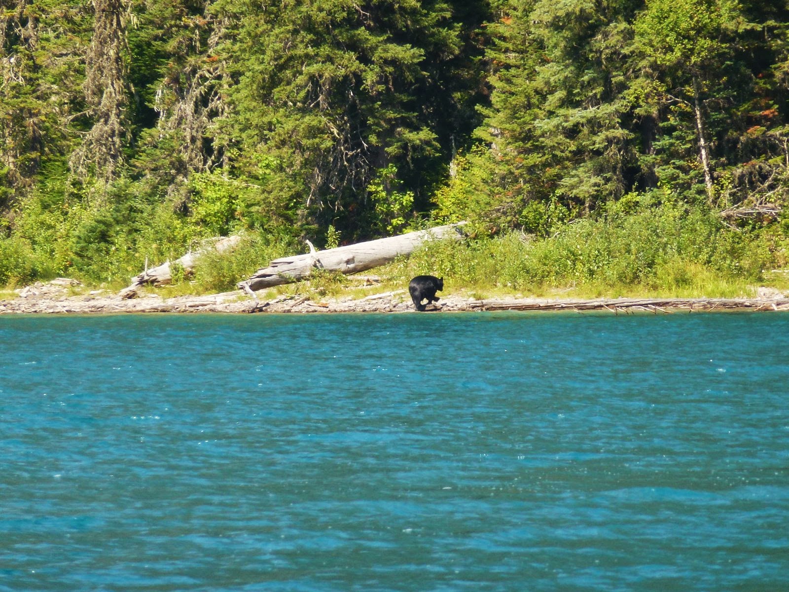
Later that afternoon, we continued to the eastern part of the lake and there it was: a bear frolicking in the water or maybe it was fishing.  I was very happy it was on the opposite side of the lake. 

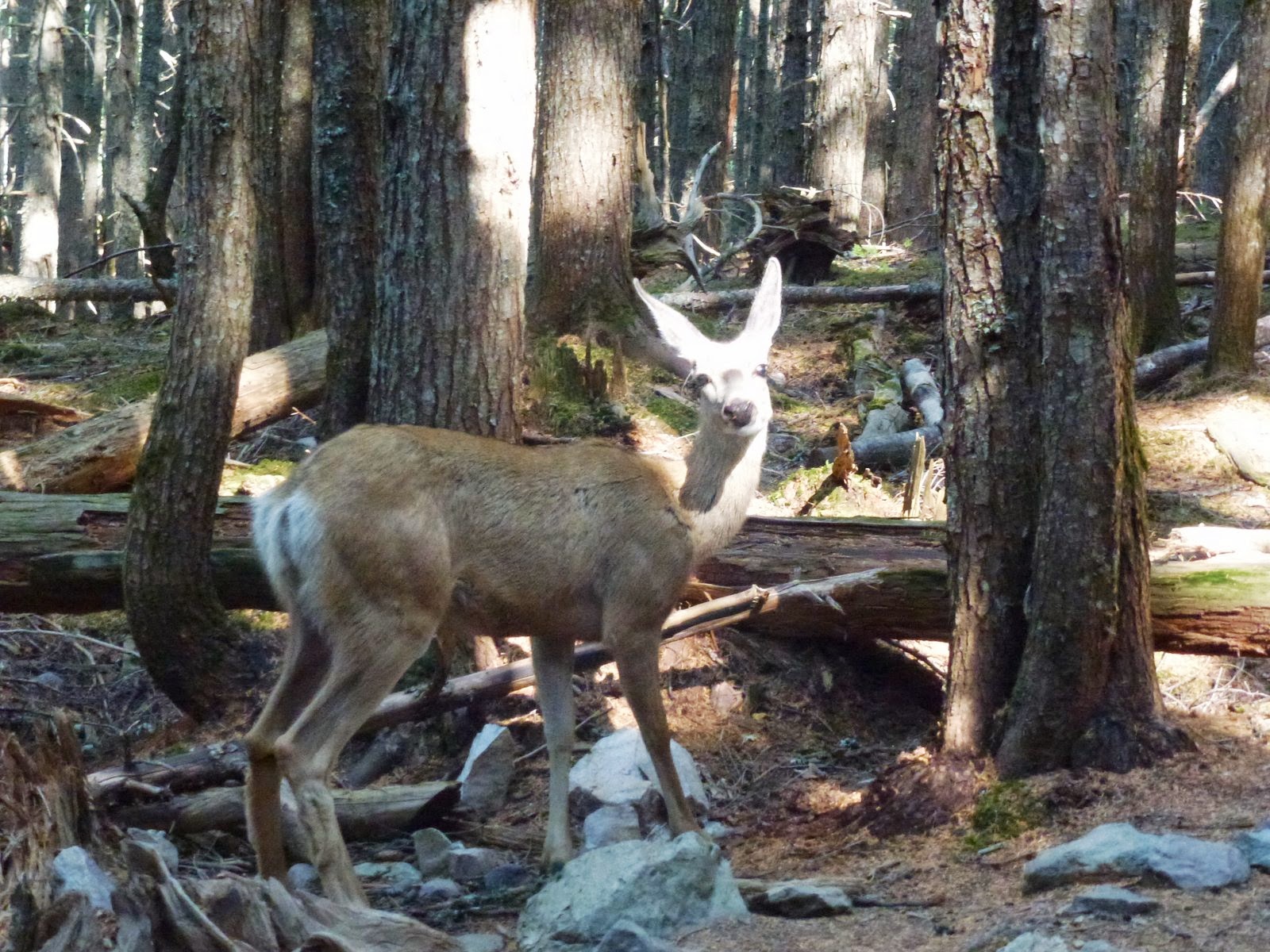
A surprise on the way back. A deer feeding on something brown along side the trail.  It was so yummy, it wouldn't budge an held up a line of picture-taking hikers for quite a while.

On the Trail of the Cedars, an uprooted tree trunk that became a piece of art.
Posted by Picasa

Highline Trail, Glacier National Park, MT, 8/26/13


First hike of our 3-day stay at Glacier National Park in Montana. Lonely Planet calls this hike "a vista-laden extravaganza" and it was.  The hike, at Logan Pass,  is 11.6 miles long and starts with exposure (hand rails provided) as it cuts along the side of the mountain and then follows the Garden Wall ridge just below the Continental Divide.  

The Garden Wall is a sharp ridge, carved by an ancient glacier. 

We decided to join a ranger-led hike rather than set out on our own, mainly because we found out at the ranger station that bear activity was noted on the Highline trail the day before.  And sure enough, within the first hour of hour hike, a bear was spotted higher up on the trail.  I did not see it so, sorry, no picture.

Wildlife was in abundance, however.  Above, a marmot checking out our lunch.  Bighorn sheep were spotted by several hikers in our group but, again no picture.

Although 11.6 miles long, the trail has little elevation until the 3.5 mile marker when it climbs ~800 feet to a ridge and then levels out again. At about 6.8 miles the Granite Park Chalet came into view. It is called "Granite" because it is built with local stone that the early settlers mistook for granite.  The Chalet was built in the early 1900's and served as a relay for horseback riders.  Now it is a busy hostel for backpackers.

Ranger delivering one of several lectures along the way.  We learned about the wildflowers and many berries, geology of the area, glacier formation (and how they will all be gone by 2020) and the wildlife. Note the bear spray attached to her belt.   

Happy with our accomplishment for the day!  It had been a long time since we set out for an almost 12-mile hike. 
Posted by Picasa

Friday, July 26, 2013

Pony Bridge Trail, Olympic National Park, July 2, 2013


It took almost an hour of driving from our cabin on the northern shore of Lake Quinault on a windy, mostly one-lane, partly paved road to reach the trail head.  At one point, a bear cub ran along the road and into the forest.  In contrast to Hurricane Ridge that abounded with wild life, the cub was the only large animal we encountered.

The hike was 2 miles to Pony Bridge and from there leads to Enchanted Forest.  We met a number of backpackers on their way out, praising the wonders of Enchanted Forest: high cliffs, numerous sparkling waterfalls, and green meadows.


We didn't make it to Enchanted Forest but were happily surprised by the fairy wonderland setting of Pony Bridge with its rushing glacier mineral-laden waters, ferns, mosses and gigantic trees.
Posted by Picasa

Patapsco CCC Remains trail, Patapsco State Park, MD, 10/23/24

 Our first hike with Senior Rangers organized by Maryland Dept of Natural Resources. Actually, the fifth outing, as we missed some, and some...