Friday, August 30, 2013

Highline Trail, Glacier National Park, MT, 8/26/13


First hike of our 3-day stay at Glacier National Park in Montana. Lonely Planet calls this hike "a vista-laden extravaganza" and it was.  The hike, at Logan Pass,  is 11.6 miles long and starts with exposure (hand rails provided) as it cuts along the side of the mountain and then follows the Garden Wall ridge just below the Continental Divide.  

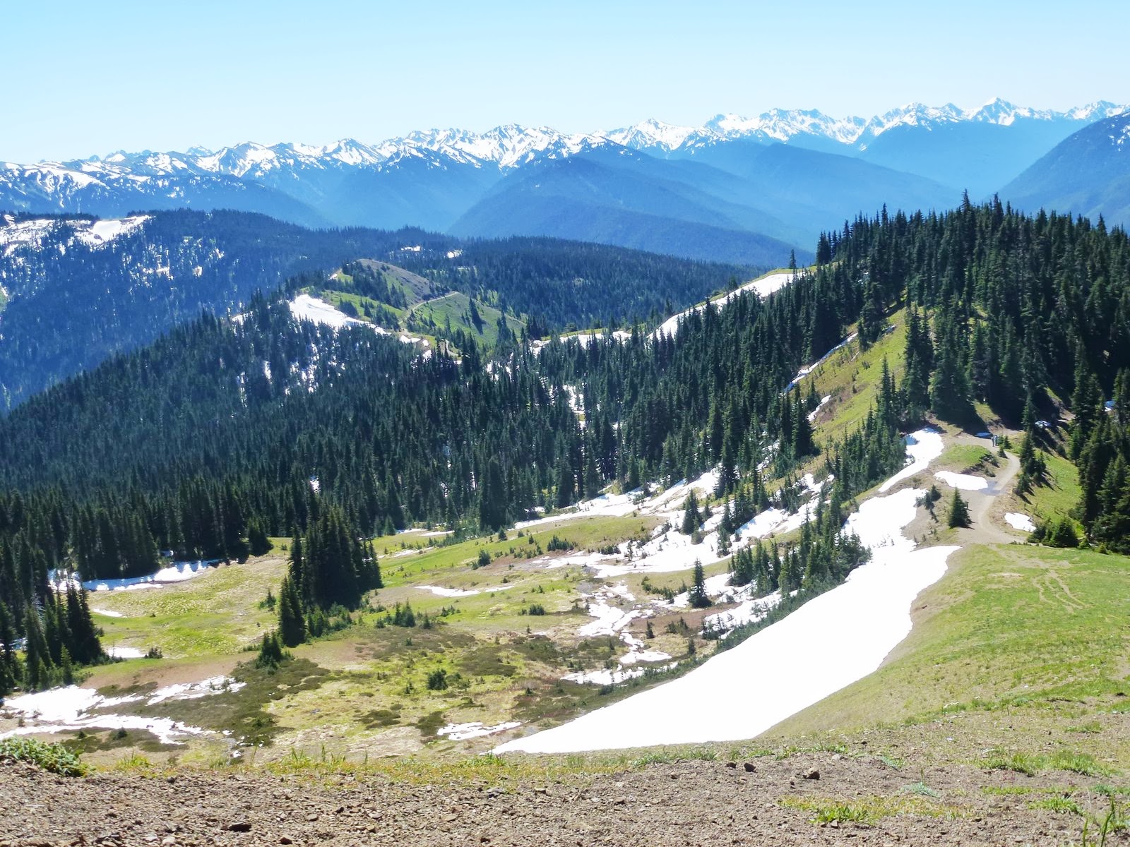
The Garden Wall is a sharp ridge, carved by an ancient glacier. 

We decided to join a ranger-led hike rather than set out on our own, mainly because we found out at the ranger station that bear activity was noted on the Highline trail the day before.  And sure enough, within the first hour of hour hike, a bear was spotted higher up on the trail.  I did not see it so, sorry, no picture.

Wildlife was in abundance, however.  Above, a marmot checking out our lunch.  Bighorn sheep were spotted by several hikers in our group but, again no picture.

Although 11.6 miles long, the trail has little elevation until the 3.5 mile marker when it climbs ~800 feet to a ridge and then levels out again. At about 6.8 miles the Granite Park Chalet came into view. It is called "Granite" because it is built with local stone that the early settlers mistook for granite.  The Chalet was built in the early 1900's and served as a relay for horseback riders.  Now it is a busy hostel for backpackers.

Ranger delivering one of several lectures along the way.  We learned about the wildflowers and many berries, geology of the area, glacier formation (and how they will all be gone by 2020) and the wildlife. Note the bear spray attached to her belt.   

Happy with our accomplishment for the day!  It had been a long time since we set out for an almost 12-mile hike. 
Posted by Picasa

Friday, July 26, 2013

Pony Bridge Trail, Olympic National Park, July 2, 2013


It took almost an hour of driving from our cabin on the northern shore of Lake Quinault on a windy, mostly one-lane, partly paved road to reach the trail head.  At one point, a bear cub ran along the road and into the forest.  In contrast to Hurricane Ridge that abounded with wild life, the cub was the only large animal we encountered.

The hike was 2 miles to Pony Bridge and from there leads to Enchanted Forest.  We met a number of backpackers on their way out, praising the wonders of Enchanted Forest: high cliffs, numerous sparkling waterfalls, and green meadows.


We didn't make it to Enchanted Forest but were happily surprised by the fairy wonderland setting of Pony Bridge with its rushing glacier mineral-laden waters, ferns, mosses and gigantic trees.
Posted by Picasa

Hoh Rain Forest, Olympic National Park, July 1, 2013


From the Visitor Center, we explored several short trails. 

Mosses and ferns competing for space.

The Hoh river starts at the Mound Olympus glacier and runs for 50 miles, descending 7000 feet into the Pacific Ocean. The water looks greyish and pale blue because of all the dissolved minerals from the glacier.


Sorry for the sideways pictures.  My point was to illustrate the incredible height of the trees.
Posted by Picasa

Second Beach, Olympic National Park, July 1, 2013


This was a day with two short hikes and lots of driving, from Port Angeles down to Quinault Lake via the scenic route to La Push and Second Beach.  Some of you may remember La Push from the Twilight movies. It was the main setting of the second book in the trilogy.
Second beach is reached after a short hike (3/4 mile) through lush and very humid rain forest. It reminded us of our Hawaii jungle hikes.

It was overcast, cold and windy.  It looks like the beach was deserted but I had a hard time taking pictures devoid of beachcombers.

Sea stacks called Quillayute needles.

No further description necessary.  I loved walking in the surf and sea spray.
Posted by Picasa

Hurricane Hill, Olympic National Park, June 30, 2013


We set out for Hurricane Ridge from Port Angeles, on the northern coast of the Olympic peninsula.   Just the road trip to the park entrance was worth the trip. We stopped for breathtaking views and the wild life.  At one point, we stopped just to let a fawn go by.  It was racing along side the road as if getting away from the our car. I felt we were wearing it out, so we stopped. It promptly disappeared in the bushes.

Hurricane Ridge gets its name from the 75-mile per hour winds that shape it and the 30-35 inches of snow that lingers well into summer.

Although the trail is only 1.6 miles, mostly paved and very crowded, we selected it with the promise of panoramic views.  We were not disappointed.  Mount Olympus above.

Even more fun that the views was the abundant wild life. 


Marmot


Definitely one of our top 10 hikes of the year!
Posted by Picasa

Monday, April 22, 2013

The Narrows, El Malpais National Monument, Grants NM, 4-6-13


Jim, Dave, Mark (from left to right) and I set out to discover the El Malpais badlands region south of Grants, NM.  The hike we chose is called "The Narrow" because the road is squeezed between a towering cliff and the lava bed extending west.  It is a 7-mile round trip stretch with almost no elevation, 3.5 miles to the La Ventana Arch Overlook.


The trail followed the edge of the cliff for a while, giving us a bit of a thrill every time be peaked over the edge of the cliff.


Detail of the lave bed below. 
 

After about two miles the trail veered off a little to the east and away from the edge of the cliff, making the trail decidedly less exciting.  We decided not to go all the way to the La Ventana Arch but to try our luck on a lava trail.

Overlooking the lava beds from the cliffs, they looked flat. Not so from up close.   We had barely walked in a few hundred yard that it was clear that getting disoriented and losing your bearings was very, very easy. The park rangers thought of that...

They made the kearns man-high so that you could see them several hundreds of yards away.

All in all a wonderful spring hike with great friends and stimulating conversations.  Already a warm day along the lava.  A "deju vu" hike for Jim and I as we hiked the lava beds of the Big Island in Hawaii just three months ago.  To our surprise, we found that the different lava formations carry the same names as in Hawaii.  (See blogs: Extreme Lava Hike, 12-13-12.)
Posted by Picasa

Sunday, April 21, 2013

Beaverbrook Trail, Denver CO, 3-18-13


We started this hike rather late in the day. The reason being that we set out to do a high mountain alpine hike and ended up turning back because of snow and ice on the road.  So this was plan B. We chose to start at the west end of the trail, called Windy Saddle.  The trailhead was difficult to find.  We ended up finding it, hiding at the end of a lovely 1/2-mile Braille Walk.  The bridge you see above was just at the end of the braille trail.  It was a gorgeous day but it was clear from the start of the hike that this was going to be a icy and snowy trail.  We dug the Yak Tracks out of our packs.

The trail winds its way down a steep ravine for about 1.5 miles with rock falls to cross, as you see in the picture below.  

This trail had several sections with just a little more exposure than I am comfortable handling.

At the bottom, we reached Beaverbrook Creek and found  Chavez trail. A group of hikers told us we could take Chavez trail following the creek part of the way and then back up to the cars.   

Crossing frozen Beaverbrook Creek.  A bit of a trill since it was not clear that the ice was thick enough to hold our weight.

We hiked up the trail for another 3/4 of a mile or so, and headed back.   This hike is actually in a park close to Denver (just outside of Golden) but like the hiking book said, "no part of it is a walk in the park."  I gave it an A rating for a "plan B" hike.
Posted by Picasa

Patapsco CCC Remains trail, Patapsco State Park, MD, 10/23/24

 Our first hike with Senior Rangers organized by Maryland Dept of Natural Resources. Actually, the fifth outing, as we missed some, and some...