Plan B: Fourth of July trail, ~ 5 miles, 800 feet elevation. On Friday, we drove up to the northern NM region of the Pecos to the Santa Barbara campground with intention of camping for 3 nights and 2 days of hiking... and, I did not even get out of the car. Rain, hail and 45 degree temperatures welcomed us as we selected a camp site. We decided to drive back home.
The Fourth of July Canyon is known for its bigtooth maples and brilliant scarlet fall colors, making it a favorite fall destination. This Memorial Day Sunday we had the trail to ourselves, however. Probably because of the w.e. weather forecast of thunder storms. Above, the Fourth of July spring, dripping in a trough used by cattle.
Trail 173 joins trail #79, a connecting trail to the Manzano Crest trail. Mosca Peak surprised us as we joined the Crest trail. Our hiking instructions directed us to walk 1/4 mile to a saddle with views of Guadalupe Peak. We did not make it to the saddle. There it was in a turn of the trail: a large brown bear, staring at us. For just 2 seconds, I'm sure, but it felt like an eternity. And then it ran away from us, crossing the trail. We turned back and settled for lunch in a spot with views of Mosca Peak when we got another surprise: a bull wandering out of the oak shrubs, observing us and deciding to move on.
Sunday, May 25, 2014
Saturday, May 24, 2014
Kasha Katuwe Tent Rock National Monument, NM, 5/17/14
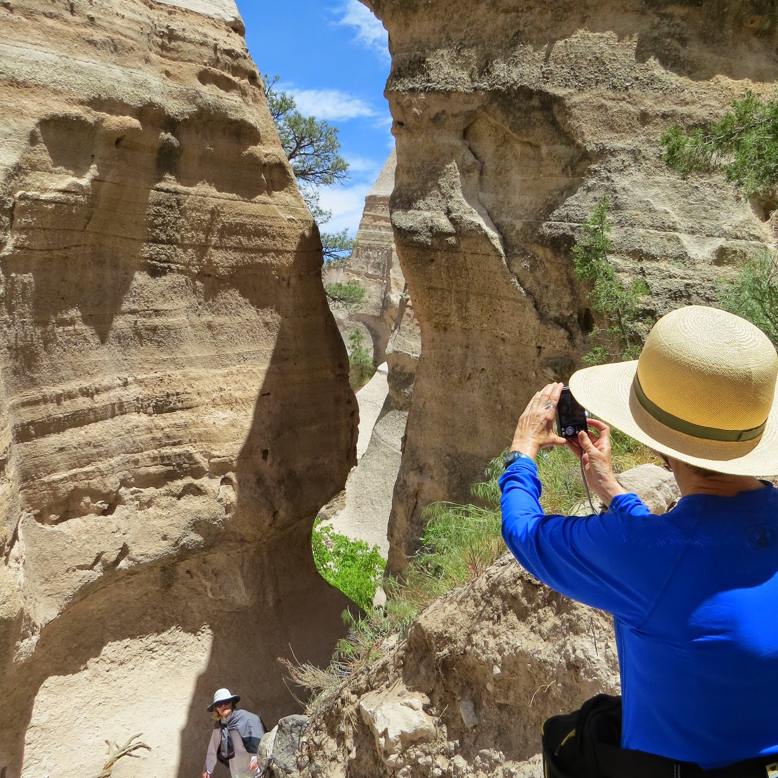
My friends Rossi, Ivana and I decided to to go to Tent Rock for a morning of photography. Above, entrance of the Canyon trail. This 1.1 mile spur trail leads through a slot canyon and then climbs up to a ridge with 360-degree views. Hiking the slot canyon requires a bit of scrambling. My hiking book, 60 Hikes with 60 Miles states, "if you can climb up on a kitchen counter, you can manage."
Entering the slot canyon. Kasha Katuwe means "white cliffs" in the language of the Cochiti people. The numerous hoodoos and other fascinating formations were formed by volcanic explosions 6-7 million years ago, when ash and pumice accumulated over the plateau.
Hoodoo views as we left the slot canyon and started to climb up to the ridge.
One last picture...
Subscribe to:
Comments (Atom)
Patapsco CCC Remains trail, Patapsco State Park, MD, 10/23/24
Our first hike with Senior Rangers organized by Maryland Dept of Natural Resources. Actually, the fifth outing, as we missed some, and some...

-
Panoramic photo of approach to Dripping Springs Natural Area with Organ Mountains in background. A thriving resort in the early 190...
-
We started out this hiking day with the intention of hiking Trigo Trail, on the west side of the Manzano Mountains. The hike description pr...


